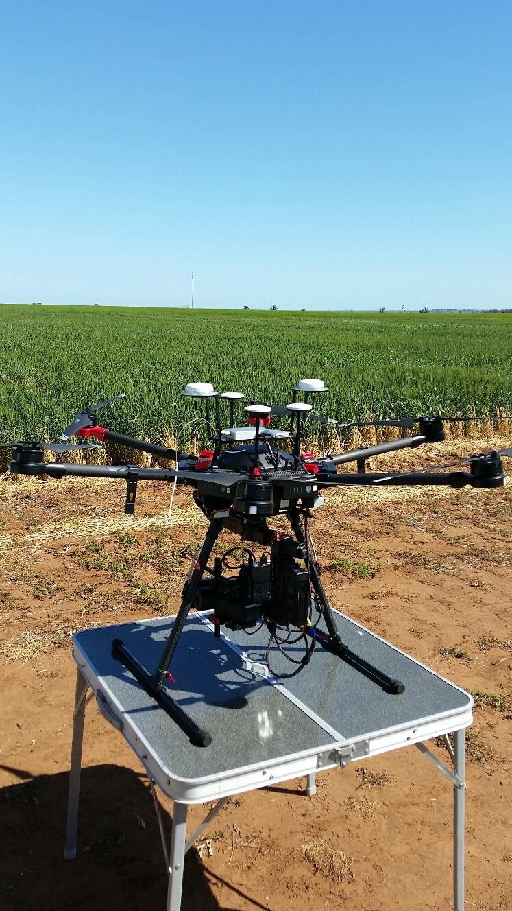
A South Australian Grain Industry Trust (SAGIT) funded project has confirmed accuracy in plant measurements taken via drone imagery when compared with those taken with traditional methods, opening up a range of possibilities for the technology.
The trial is comparing the accuracy of key measurements including biomass, greenness and growth rate using non-destructive drone imagery. Research has focused on current GRDC wheat trials on sodic soils in the state’s Mid North.
Agricultural scientist Dr Rhiannon Schilling, from the University of Adelaide’s School of Agriculture, Food and Wine at Waite, said the project explored the accuracy and potential efficiencies aerial imagery could provide.
“We were able to show there is a good correlation between the data collected by handheld method and what we had extracted from the drone images, including measurements such as plant height,” she said.
“We also found the method to be quite helpful in the measurement of biomass.”

This article was written by Quinton McCallum and originally published by SAGIT. Read the original article.

In a collaboration with Dr Ramesh Raja Segaran at the University of Adelaide’s Unmanned Research Aircraft (URAF) facility, Dr Schilling captured images at trial sites every two to three weeks last year at critical plant growth stages, including plant establishment, early tillering, stem elongation, anthesis and maturity.
“A huge benefit of the use of drones is we can measure our varieties non-destructively in order to monitor crop growth through time,” she said.
Dr Schilling said the technology could improve crop research efficiencies, allowing a greater range of data to be collected from more plots.
“Currently, we are very limited by the number of plots we can physically monitor and assess,” she said.
“This technology opens up a range of different opportunities in the development of new crop varieties.
“Using drone technology, we will now be able to assess a large number of plots quantitatively at a much quicker rate.”
While drone technology has been available for a number of years, Dr Schilling’s goal is to take full advantage of the technology.
It takes approximately 10-15 minutes to collect images from a trial site, with data processed at the URAF in several hours.
While satellite imagery is being used by some growers to monitor specific regions of their paddocks, drones have the potential to provide greater detail in some instances and can be used in combination with satellite imagery.
“In terms of a grower wanting to get detail and a greater resolution on the performance of a particular crop within a paddock, a drone can be very useful,” Dr Schilling said.
